Introduction to AGMT
Welcome to the AGMT documentation - a complete guide to geospatial planning in your browser.
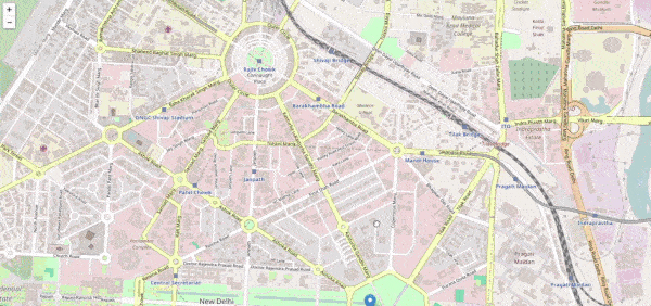
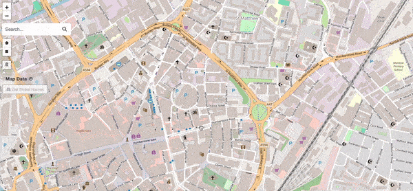
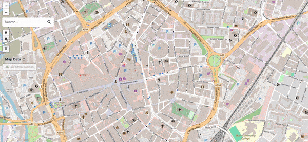
AGMT (Advanced Geolocation Mapping Tool) is geospatial analysis platform directly to your web browser.
Built with Leaflet, OpenStreetMap, and a local DuckDB-Wasm database engine for private, browser-based analysis of OS Open Government data.
What Can You Do with AGMT?
Draw Precise Boundaries→
Create polygons, rectangles, and circles with custom titles, team colours, and area measurements.
Analyse Instantly→
Extract street names and accurate house counts directly from drawn shapes.
- Leicester City: high-accuracy via OS Open UPRN
- Global: OpenStreetMap & Overpass API
Organise by Team→
Assign shapes to named, colour-coded teams. See who covers what at a glance.
Aggregate Metrics→
View totals for addresses, streets, and area coverage across your entire project.
Where to Start
Explore the Features


Local-First Privacy - Your data stays with you. Shapes, teams, and project notes are processed and stored entirely in your browser. External requests are limited to fetching map tiles and street data via OpenStreetMap and Overpass API — no user data is ever uploaded to a server.
Data Attribution & Licensing
This tool is powered by Leaflet and OpenStreetMap.
This tool incorporates OS Open UPRN
data, specifically filtered to Leicester City boundaries.
Contains OS data © Crown copyright and database right 2025 and GeoPlace
data © Local Government Information House Limited copyright and database right
2025, licensed under the
Open Government Licence v3.0.
Ready to begin? Head to the Getting Started guide.
Happy mapping!